Intuitive, Data-Driven Agriculture Platform
FarmiSpace is your powerful partner to visualize and achieve precision agriculture

It only takes one step to become an expert in precision agriculture
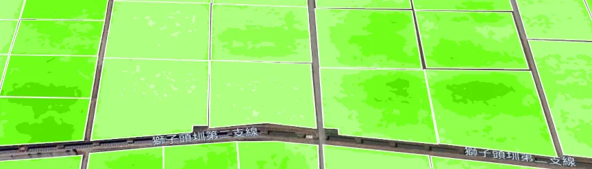
Spatial distribution layer switching
Multi-indicator monitoring and analysis
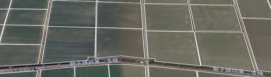
Continuously updated visualization
Multiple fields comparative analysis
Satellite monitoring of crop growth data is invisible to the naked eye
What can FarmiSpace do?
We can help you with all the data you need regarding your fields and crops.
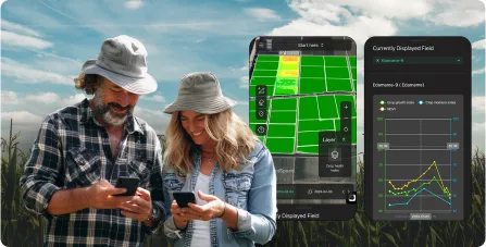
FarmiSpace provides crop health, growth, moisture index, and more for monitoring of field data.
Learn moreWhy FarmiSpace?
A simple platform to get started
No need to spend big money on sensors. With a satellite monitoring solution, there's no need to spend additional manpower and time on-site. Start monitoring your fields online effortlessly.
View example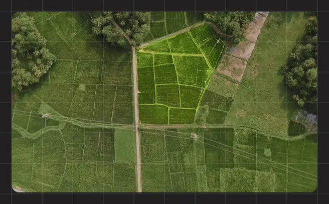
Significant cost reductions
Implement precision agriculture through satellite monitoring to identify areas with crop abnormalities or water shortages. Irrigate and apply materials only in the areas where needed, reducing unnecessary costs and waste.
View example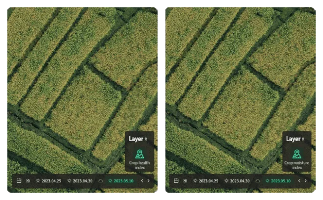
Immediate detection of pests and diseases
Satellite monitoring technology can detect changes in plant light spectrum, monitor plant health and growth, helping you to identify hazards early and take appropriate action.
View example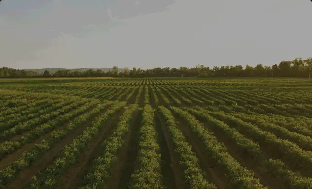
Identify the optimal harvest period
FarmiSpace can help you predict the optimal harvesting period for your crops by monitoring the changes in plant indexes and critical periods such as flowering, fruiting, etc.
View example
Embracing the future of agriculture with a new data domain
How do different industries use FarmiSpace?
Farming the smarter way
FarmiSpace makes it easy to practice precision farming and protect your fields from planting to harvesting!


